A378 is Churchway in Curry Rivel
Introduction
The photograph on this page of A378 is Churchway in Curry Rivel by Stuart Logan as part of the Geograph project.
The Geograph project started in 2005 with the aim of publishing, organising and preserving representative images for every square kilometre of Great Britain, Ireland and the Isle of Man.

There are currently over 7.5m images from over 14,400 individuals and you can help contribute to the project by visiting https://www.geograph.org.uk
A378 is Churchway in Curry Rivel
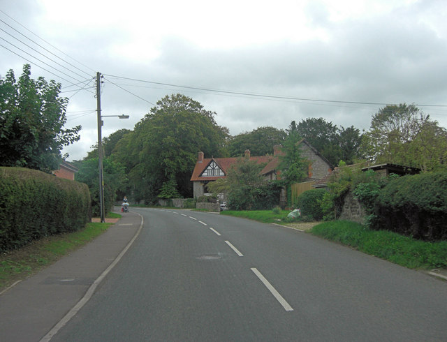
Image: © Stuart Logan Taken: 9 Oct 2013
The unusual name Curry Rivel, comes from the Celtic word crwy, meaning boundary and Rivel from its 12th-century landlord Sir Richard Revel. In 1237 the King granted Henry de l'Orti a licence to empark his woods in Curry Rivel separating them from the control of the foresters of Castle Neroche. Curry Rivel was part of the hundred of Abdick and Bulstone. See: http://en.wikipedia.org/wiki/Curry_Rivel
Images are licensed for reuse under creativecommons.org/licenses/by-sa/2.0
Image Location
Latitude
51.025349
Longitude
-2.858748