East Cottingwood
Introduction
The photograph on this page of East Cottingwood by Mick Garratt as part of the Geograph project.
The Geograph project started in 2005 with the aim of publishing, organising and preserving representative images for every square kilometre of Great Britain, Ireland and the Isle of Man.

There are currently over 7.5m images from over 14,400 individuals and you can help contribute to the project by visiting https://www.geograph.org.uk
East Cottingwood
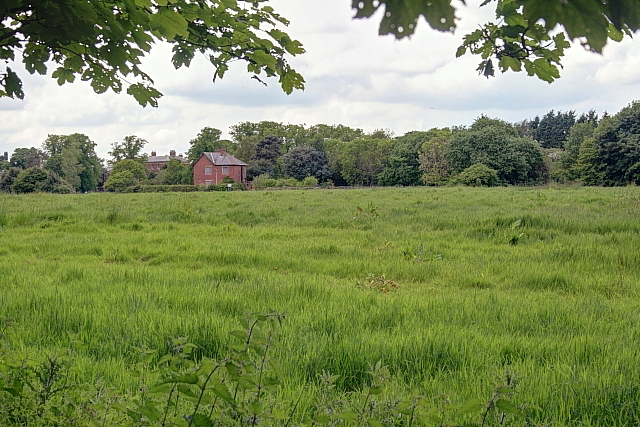
Image: © Mick Garratt Taken: 1 Jun 2014
The name of a field formerly part of St Georges Hospital now managed by the Houses and Communities Agency so presumably earmarked for housing development. The Houses and Communities Agency is a government agency but the "Private" signs are very intimidating for publicly owned land.
Images are licensed for reuse under creativecommons.org/licenses/by-sa/2.0
Image Location
Latitude
55.176072
Longitude
-1.680768