Track to Old Court Farm
Introduction
The photograph on this page of Track to Old Court Farm by John Baker as part of the Geograph project.
The Geograph project started in 2005 with the aim of publishing, organising and preserving representative images for every square kilometre of Great Britain, Ireland and the Isle of Man.

There are currently over 7.5m images from over 14,400 individuals and you can help contribute to the project by visiting https://www.geograph.org.uk
Track to Old Court Farm
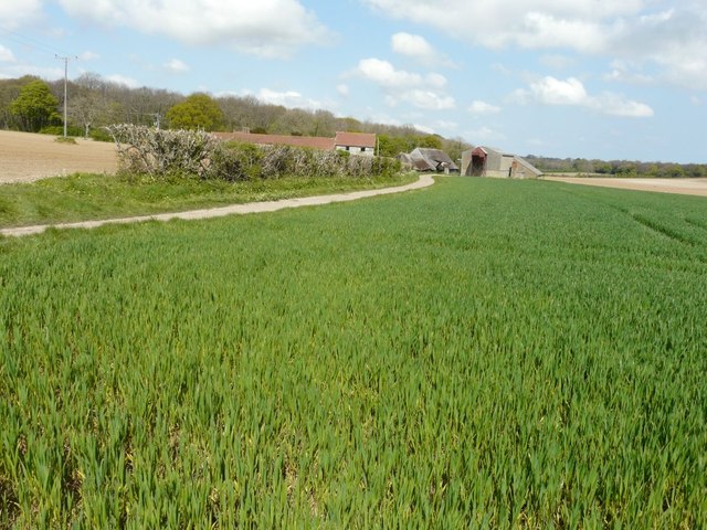
Image: © John Baker Taken: 19 Apr 2014
Seen from a bridleway that runs from Ackholt Road to the start of the track. The farmhouse of this farm is a grade II listed building that dates from the 17th century with 18th and early 19th century additions http://www.britishlistedbuildings.co.uk/en-177862-old-court-farmhouse-and-forecourt-aylesh
Images are licensed for reuse under creativecommons.org/licenses/by-sa/2.0
Image Location
Latitude
51.233708
Longitude
1.214459