Path from the Water Gardens to Hatfield Close, Matchborough, Redditch
Introduction
The photograph on this page of Path from the Water Gardens to Hatfield Close, Matchborough, Redditch by Robin Stott as part of the Geograph project.
The Geograph project started in 2005 with the aim of publishing, organising and preserving representative images for every square kilometre of Great Britain, Ireland and the Isle of Man.

There are currently over 7.5m images from over 14,400 individuals and you can help contribute to the project by visiting https://www.geograph.org.uk
Path from the Water Gardens to Hatfield Close, Matchborough, Redditch
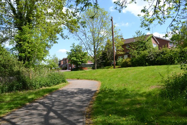
Image: © Robin Stott Taken: 25 May 2013
Archetypal Redditch New Town: landscaped footpath from naturalistic open space into residential close, brick houses; fast-growing trees (ash in this case). The pole is definitely leaning.
Images are licensed for reuse under creativecommons.org/licenses/by-sa/2.0
Image Location
Latitude
52.29613
Longitude
-1.894088