Bethesda Road, Ynysmeudwy
Introduction
The photograph on this page of Bethesda Road, Ynysmeudwy by Jaggery as part of the Geograph project.
The Geograph project started in 2005 with the aim of publishing, organising and preserving representative images for every square kilometre of Great Britain, Ireland and the Isle of Man.

There are currently over 7.5m images from over 14,400 individuals and you can help contribute to the project by visiting https://www.geograph.org.uk
Bethesda Road, Ynysmeudwy
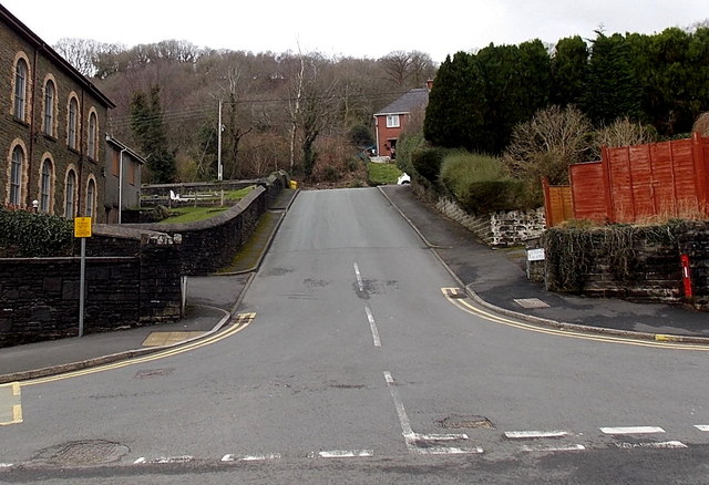
Image: © Jaggery Taken: 1 Mar 2014
Viewed across Ynysmeudwy Road. Bethesda Chapel http://www.geograph.org.uk/photo/4007703 is on the left. A King George V postbox http://www.geograph.org.uk/photo/4007735 is in the wall on the right.
Images are licensed for reuse under creativecommons.org/licenses/by-sa/2.0
Image Location


Leaflet Map data © OpenStreetMap
Latitude
51.73373
Longitude
-3.832223