Piperdam Loch
Introduction
The photograph on this page of Piperdam Loch by philip blackwood as part of the Geograph project.
The Geograph project started in 2005 with the aim of publishing, organising and preserving representative images for every square kilometre of Great Britain, Ireland and the Isle of Man.

There are currently over 7.5m images from over 14,400 individuals and you can help contribute to the project by visiting https://www.geograph.org.uk
Piperdam Loch
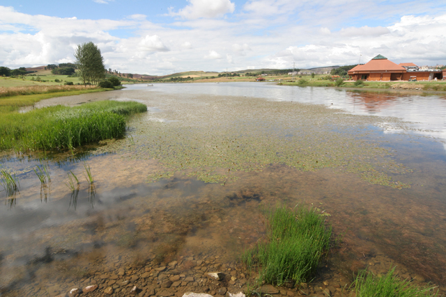
Image: © philip blackwood Taken: 19 Aug 2005
Piperdam Loch, a stocked fishery, view looking west, with country club building on the right.
Images are licensed for reuse under creativecommons.org/licenses/by-sa/2.0
Image Location
Latitude
56.497427
Longitude
-3.130497