An unusual view of the Havering water tower
Introduction
The photograph on this page of An unusual view of the Havering water tower by Derek Voller as part of the Geograph project.
The Geograph project started in 2005 with the aim of publishing, organising and preserving representative images for every square kilometre of Great Britain, Ireland and the Isle of Man.

There are currently over 7.5m images from over 14,400 individuals and you can help contribute to the project by visiting https://www.geograph.org.uk
An unusual view of the Havering water tower
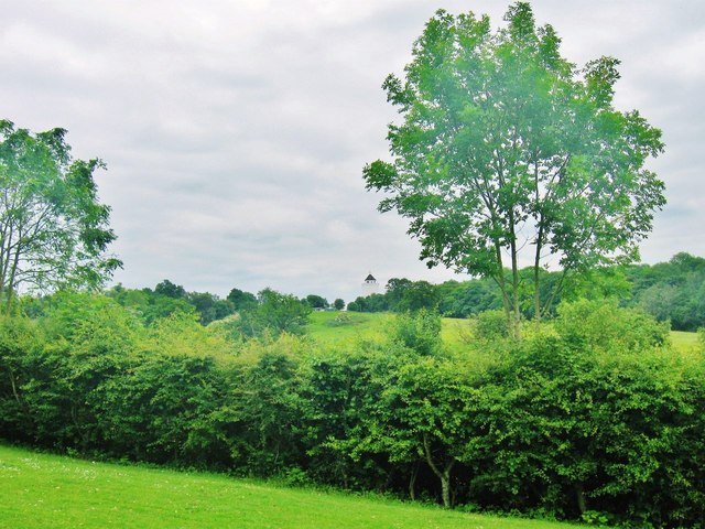
Image: © Derek Voller Taken: 31 May 2014
Taken from the gardens of the 18th century former country house "The Bower House" at Havering-atte-Bower.
Images are licensed for reuse under creativecommons.org/licenses/by-sa/2.0
Image Location
Latitude
51.616635
Longitude
0.190458