Robinhood Farm
Introduction
The photograph on this page of Robinhood Farm by Bikeboy as part of the Geograph project.
The Geograph project started in 2005 with the aim of publishing, organising and preserving representative images for every square kilometre of Great Britain, Ireland and the Isle of Man.

There are currently over 7.5m images from over 14,400 individuals and you can help contribute to the project by visiting https://www.geograph.org.uk
Robinhood Farm
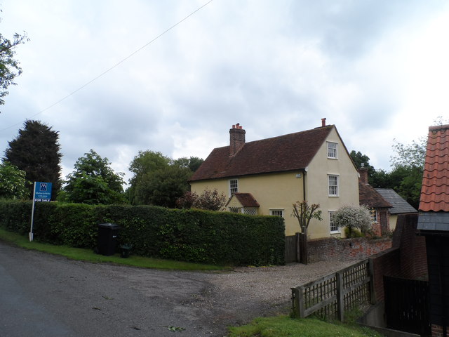
Image: © Bikeboy Taken: 29 May 2014
See http://www.geograph.org.uk/photo/270179 for a 2006 picture. The gate above the porch reads 1699. See http://www.britishlistedbuildings.co.uk/en-114165-robin-hood-farmhouse-stambourne-essex It is a C17 building with C19 additions.
Images are licensed for reuse under creativecommons.org/licenses/by-sa/2.0
Image Location
Latitude
52.004633
Longitude
0.490567