Paddocks and power lines, Forhill
Introduction
The photograph on this page of Paddocks and power lines, Forhill by Robin Stott as part of the Geograph project.
The Geograph project started in 2005 with the aim of publishing, organising and preserving representative images for every square kilometre of Great Britain, Ireland and the Isle of Man.

There are currently over 7.5m images from over 14,400 individuals and you can help contribute to the project by visiting https://www.geograph.org.uk
Paddocks and power lines, Forhill
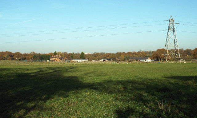
Image: © Robin Stott Taken: 30 Nov 2013
Low-level power lines run along the Forhill-Redhill plateau. Properties in the distance, by Redhill Road, have extensive equestrian facilities. Just seen above the trees, left, are the tops of buildings in central Birmingham. http://www.geograph.org.uk/photo/4003351
Images are licensed for reuse under creativecommons.org/licenses/by-sa/2.0
Image Location
Latitude
52.381112
Longitude
-1.926941