Canal Road benchmark
Introduction
The photograph on this page of Canal Road benchmark by Neil Owen as part of the Geograph project.
The Geograph project started in 2005 with the aim of publishing, organising and preserving representative images for every square kilometre of Great Britain, Ireland and the Isle of Man.

There are currently over 7.5m images from over 14,400 individuals and you can help contribute to the project by visiting https://www.geograph.org.uk
Canal Road benchmark
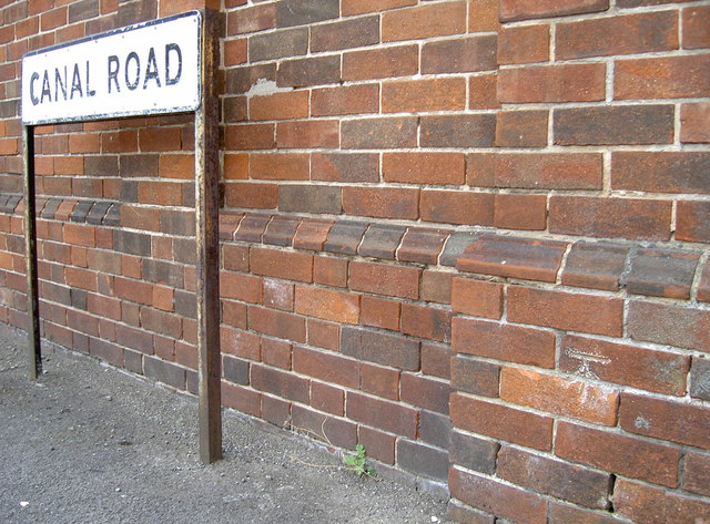
Image: © Neil Owen Taken: 26 May 2014
This is a relatively new benchmark on the old electricity substation on Canal Road. It dates from the post-WWII period and was verified in 1968. See http://www.bench-marks.org.uk/bm57718 for the entry in the Benchmark Database and Image] for a wider view.
Images are licensed for reuse under creativecommons.org/licenses/by-sa/2.0
Image Location
Latitude
51.02087
Longitude
-3.10304