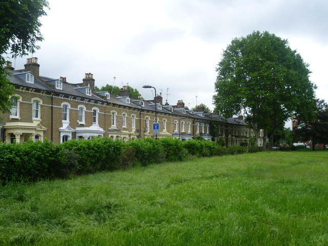
Meynell Crescent from the edge of Well Street Common
Introduction
The photograph on this page of Meynell Crescent from the edge of Well Street Common by Marathon as part of the Geograph project.
The Geograph project started in 2005 with the aim of publishing, organising and preserving representative images for every square kilometre of Great Britain, Ireland and the Isle of Man.
There are currently over 7.5m images from over 14,400 individuals and you can help contribute to the project by visiting https://www.geograph.org.uk

Image: © Marathon Taken: 28 May 2014
Well Street Common is recorded as early as 1442 as ‘Well Street Field’, to the west of a small hamlet along Well Street (the Common has also been recorded as ‘South Hackney Common’ at various stages of its history). Its very interesting history (provided by the Well Street Common User Group) can be found at http://www.wellstreetcommon.co.uk/history.php See also http://www.hackney.gov.uk/well-street-common.htm#.U4ZqpnJdXhI This view is from the western edge of the Common looking towards the houses in Meynell Crescent.

