Haar over Wadbister Voe
Introduction
The photograph on this page of Haar over Wadbister Voe by Mike Pennington as part of the Geograph project.
The Geograph project started in 2005 with the aim of publishing, organising and preserving representative images for every square kilometre of Great Britain, Ireland and the Isle of Man.

There are currently over 7.5m images from over 14,400 individuals and you can help contribute to the project by visiting https://www.geograph.org.uk
Haar over Wadbister Voe
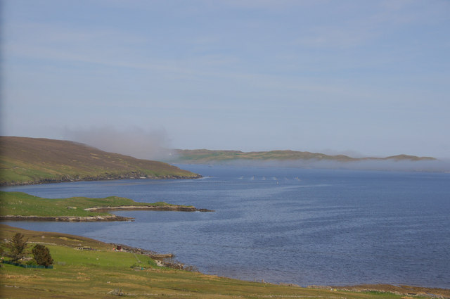
Image: © Mike Pennington Taken: 28 May 2014
Chalder Ness in the foreground, haar over Ritta Taing in the background.
Images are licensed for reuse under creativecommons.org/licenses/by-sa/2.0
Image Location
Latitude
60.232932
Longitude
-1.225079