The Ropewalk: former pump house
Introduction
The photograph on this page of The Ropewalk: former pump house by John Sutton as part of the Geograph project.
The Geograph project started in 2005 with the aim of publishing, organising and preserving representative images for every square kilometre of Great Britain, Ireland and the Isle of Man.

There are currently over 7.5m images from over 14,400 individuals and you can help contribute to the project by visiting https://www.geograph.org.uk
The Ropewalk: former pump house
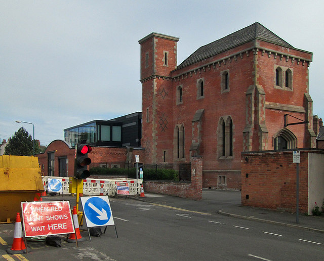
Image: © John Sutton Taken: 26 May 2014
The Grade II listed building was converted in 2010 - Image] shows the work in progress.
Images are licensed for reuse under creativecommons.org/licenses/by-sa/2.0
Image Location
Latitude
52.955226
Longitude
-1.161479