Footpath across a former railway bridge, Abernant, Aberdare
Introduction
The photograph on this page of Footpath across a former railway bridge, Abernant, Aberdare by Jaggery as part of the Geograph project.
The Geograph project started in 2005 with the aim of publishing, organising and preserving representative images for every square kilometre of Great Britain, Ireland and the Isle of Man.

There are currently over 7.5m images from over 14,400 individuals and you can help contribute to the project by visiting https://www.geograph.org.uk
Footpath across a former railway bridge, Abernant, Aberdare
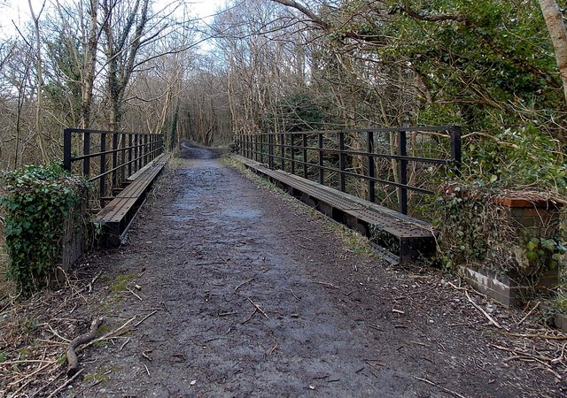
Image: © Jaggery Taken: 26 Feb 2014
Old maps show that this location, NW of Abernant Road and Rhosalltwen Inn, http://www.geograph.org.uk/photo/3999360 is near the site of the demolished Abernant railway station, where passenger services ended in 1962. http://www.geograph.org.uk/photo/3016433 to Flying Stag's 1962 photo of a train in the station.
Images are licensed for reuse under creativecommons.org/licenses/by-sa/2.0
Image Location
Latitude
51.722593
Longitude
-3.429714