Start of the Strathkelvin Railway Path
Introduction
The photograph on this page of Start of the Strathkelvin Railway Path by Lairich Rig as part of the Geograph project.
The Geograph project started in 2005 with the aim of publishing, organising and preserving representative images for every square kilometre of Great Britain, Ireland and the Isle of Man.

There are currently over 7.5m images from over 14,400 individuals and you can help contribute to the project by visiting https://www.geograph.org.uk
Start of the Strathkelvin Railway Path
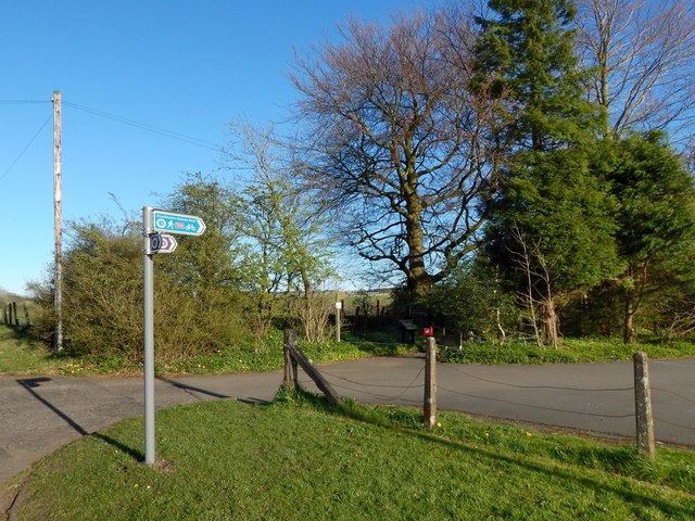
Image: © Lairich Rig Taken: 18 Apr 2014
For more context, see Image, where this area can be seen in the distance, on the left. The blue sign at the top of the signpost is for the Strathkelvin Railway Path, which begins here: Image The purple-and-white markers below it are for the John Muir Way, which follows Image to this point, and then follows the Strathkelvin Railway Path for a few kilometres.
Images are licensed for reuse under creativecommons.org/licenses/by-sa/2.0
Image Location
Latitude
55.985481
Longitude
-4.303188