Road to Birchley Farm
Introduction
The photograph on this page of Road to Birchley Farm by John M as part of the Geograph project.
The Geograph project started in 2005 with the aim of publishing, organising and preserving representative images for every square kilometre of Great Britain, Ireland and the Isle of Man.

There are currently over 7.5m images from over 14,400 individuals and you can help contribute to the project by visiting https://www.geograph.org.uk
Road to Birchley Farm
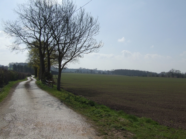
Image: © John M Taken: 7 Apr 2007
The road snakes off towards the farm on the Rudge Hall estate. The boundary hedges have been ripped out to create large fields for mechanised agriculture. Rudge Riding is signed this way.
Images are licensed for reuse under creativecommons.org/licenses/by-sa/2.0
Image Location
Latitude
52.582878
Longitude
-2.288044