Barrack Lane and Derby Road
Introduction
The photograph on this page of Barrack Lane and Derby Road by John Sutton as part of the Geograph project.
The Geograph project started in 2005 with the aim of publishing, organising and preserving representative images for every square kilometre of Great Britain, Ireland and the Isle of Man.

There are currently over 7.5m images from over 14,400 individuals and you can help contribute to the project by visiting https://www.geograph.org.uk
Barrack Lane and Derby Road
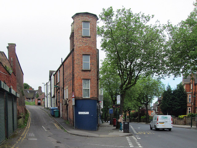
Image: © John Sutton Taken: 26 May 2014
To the left of the unusually spindly tower at the end of a wedge-shaped building, Barrack Lane leads to The Park Estate.
Images are licensed for reuse under creativecommons.org/licenses/by-sa/2.0
Image Location
Latitude
52.954458
Longitude
-1.167299