John Roll Way, Bermondsey
Introduction
The photograph on this page of John Roll Way, Bermondsey by Stephen Craven as part of the Geograph project.
The Geograph project started in 2005 with the aim of publishing, organising and preserving representative images for every square kilometre of Great Britain, Ireland and the Isle of Man.

There are currently over 7.5m images from over 14,400 individuals and you can help contribute to the project by visiting https://www.geograph.org.uk
John Roll Way, Bermondsey
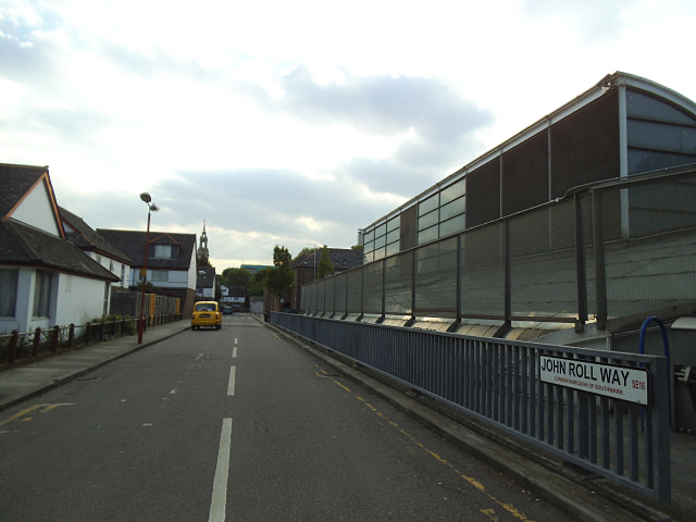
Image: © Stephen Craven Taken: 15 May 2014
On the corner of Keetons Road and John Roll Way, Bermondsey. It is named after a former local councillor in Bermondsey, and not (as I had first thought) after the similarly named John Rolls https://en.wikipedia.org/wiki/John_Rolls . Thanks to his descendent Sandra Roll for this information.
Images are licensed for reuse under creativecommons.org/licenses/by-sa/2.0
Image Location
Latitude
51.497554
Longitude
-0.064218