Looking north-northeast along Canterbury Road
Introduction
The photograph on this page of Looking north-northeast along Canterbury Road by John Baker as part of the Geograph project.
The Geograph project started in 2005 with the aim of publishing, organising and preserving representative images for every square kilometre of Great Britain, Ireland and the Isle of Man.

There are currently over 7.5m images from over 14,400 individuals and you can help contribute to the project by visiting https://www.geograph.org.uk
Looking north-northeast along Canterbury Road
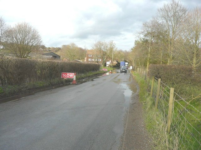
Image: © John Baker Taken: 4 Mar 2014
The road sign advising traffic to slow down was serving as a warning that the road ahead was flooded due to water flowing across it (from left to right in this view). This was the result of one of the wettest winters on record. The house beyond is part of Ottinge Court Farm.
Images are licensed for reuse under creativecommons.org/licenses/by-sa/2.0
Image Location
Latitude
51.137802
Longitude
1.095265