Mill Field/The Green Limes
Introduction
The photograph on this page of Mill Field/The Green Limes by Simon Carey as part of the Geograph project.
The Geograph project started in 2005 with the aim of publishing, organising and preserving representative images for every square kilometre of Great Britain, Ireland and the Isle of Man.

There are currently over 7.5m images from over 14,400 individuals and you can help contribute to the project by visiting https://www.geograph.org.uk
Mill Field/The Green Limes
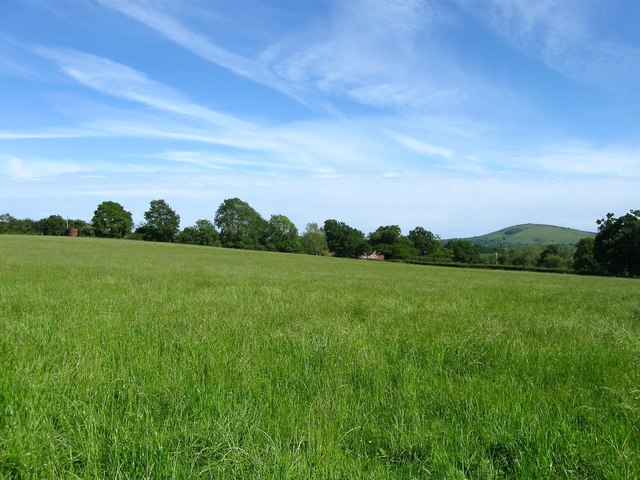
Image: © Simon Carey Taken: 25 May 2014
The name of the fields according to Albourne's 1839 tithe map that have been joined together to make a larger unit along with Image along the top of the slope to the left. Wolstonbury Hill can be seen in the distance whilst beyond the hedge at the bottom of the slope is Image
Images are licensed for reuse under creativecommons.org/licenses/by-sa/2.0
Image Location
Latitude
50.934303
Longitude
-0.209527