Ynysmeudwy boundary sign
Introduction
The photograph on this page of Ynysmeudwy boundary sign by Jaggery as part of the Geograph project.
The Geograph project started in 2005 with the aim of publishing, organising and preserving representative images for every square kilometre of Great Britain, Ireland and the Isle of Man.

There are currently over 7.5m images from over 14,400 individuals and you can help contribute to the project by visiting https://www.geograph.org.uk
Ynysmeudwy boundary sign
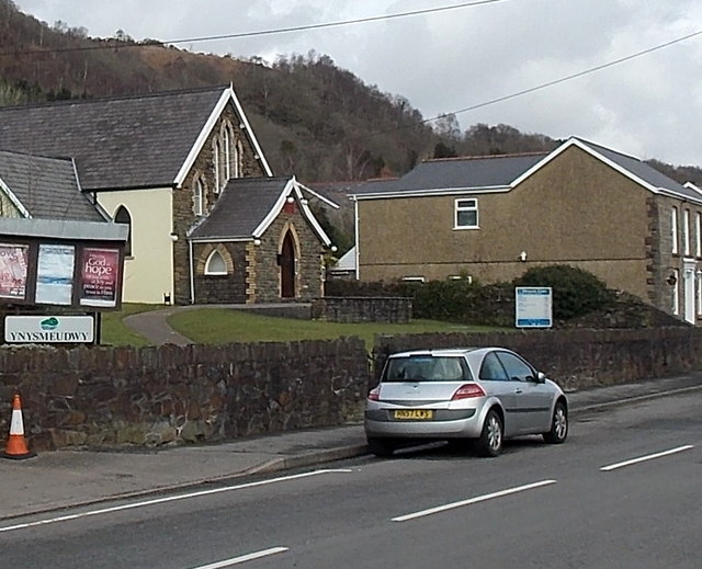
Image: © Jaggery Taken: 1 Mar 2014
Brecon Road from Pontardawe passes the Ynysmeudwy boundary sign on the perimeter wall of Mount Elim Evangelical Church. http://www.geograph.org.uk/photo/3994871
Images are licensed for reuse under creativecommons.org/licenses/by-sa/2.0
Image Location
Latitude
51.725256
Longitude
-3.845056