Former National School in Pontardawe
Introduction
The photograph on this page of Former National School in Pontardawe by Jaggery as part of the Geograph project.
The Geograph project started in 2005 with the aim of publishing, organising and preserving representative images for every square kilometre of Great Britain, Ireland and the Isle of Man.

There are currently over 7.5m images from over 14,400 individuals and you can help contribute to the project by visiting https://www.geograph.org.uk
Former National School in Pontardawe
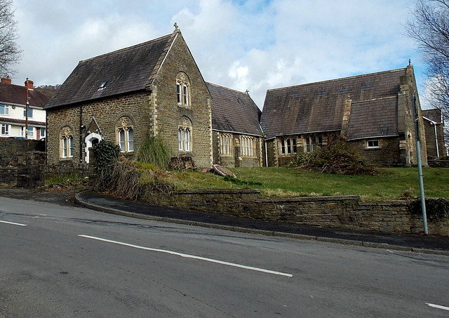
Image: © Jaggery Taken: 1 Mar 2014
On the corner of the B4603 and Brynawel. Built in 1856 as a National School, now a dwelling (Oak Cottage) and a hall.
Images are licensed for reuse under creativecommons.org/licenses/by-sa/2.0
Image Location
Latitude
51.72368
Longitude
-3.848033