Dalhousie Street
Introduction
The photograph on this page of Dalhousie Street by Thomas Nugent as part of the Geograph project.
The Geograph project started in 2005 with the aim of publishing, organising and preserving representative images for every square kilometre of Great Britain, Ireland and the Isle of Man.

There are currently over 7.5m images from over 14,400 individuals and you can help contribute to the project by visiting https://www.geograph.org.uk
Dalhousie Street
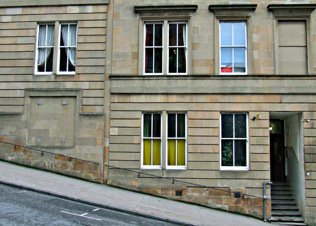
Image: © Thomas Nugent Taken: 17 May 2014
A very steep hill between Sauchiehall Street and Renfrew Street. Note the handrail on the tenement wall.
Images are licensed for reuse under creativecommons.org/licenses/by-sa/2.0
Image Location
Latitude
55.865884
Longitude
-4.263018