Rape field on Whiteway Hill
Introduction
The photograph on this page of Rape field on Whiteway Hill by David Smith as part of the Geograph project.
The Geograph project started in 2005 with the aim of publishing, organising and preserving representative images for every square kilometre of Great Britain, Ireland and the Isle of Man.

There are currently over 7.5m images from over 14,400 individuals and you can help contribute to the project by visiting https://www.geograph.org.uk
Rape field on Whiteway Hill
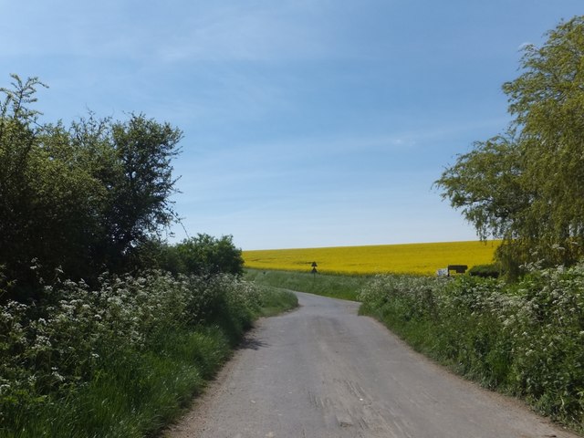
Image: © David Smith Taken: 3 May 2014
Directly ahead is a road junction with Mead Lane
Images are licensed for reuse under creativecommons.org/licenses/by-sa/2.0
Image Location
Latitude
50.890385
Longitude
-1.996963