'The Cateran Trail' through Kirkmichael
Introduction
The photograph on this page of 'The Cateran Trail' through Kirkmichael by Stanley Howe as part of the Geograph project.
The Geograph project started in 2005 with the aim of publishing, organising and preserving representative images for every square kilometre of Great Britain, Ireland and the Isle of Man.

There are currently over 7.5m images from over 14,400 individuals and you can help contribute to the project by visiting https://www.geograph.org.uk
'The Cateran Trail' through Kirkmichael
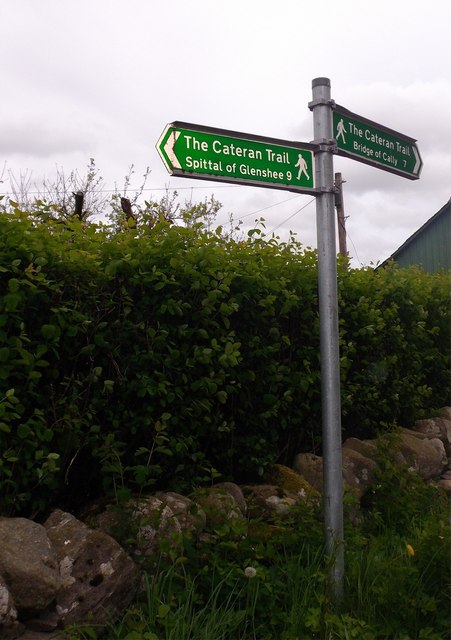
Image: © Stanley Howe Taken: 15 May 2014
Spittal of Gleeshee (left 9ml), Bridge of Calley (right 7ml). Signpost by the redundant church building.
Images are licensed for reuse under creativecommons.org/licenses/by-sa/2.0
Image Location
Latitude
56.722553
Longitude
-3.506396