School Lane
Introduction
The photograph on this page of School Lane by Neil Owen as part of the Geograph project.
The Geograph project started in 2005 with the aim of publishing, organising and preserving representative images for every square kilometre of Great Britain, Ireland and the Isle of Man.

There are currently over 7.5m images from over 14,400 individuals and you can help contribute to the project by visiting https://www.geograph.org.uk
School Lane
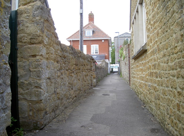
Image: © Neil Owen Taken: 15 May 2014
An old and rather narrow lane that runs past the Abbey School. Modern housing now forms most of the view, but a benchmark can still be seen on the doorway to the left - see Image
Images are licensed for reuse under creativecommons.org/licenses/by-sa/2.0
Image Location
Latitude
50.944441
Longitude
-2.519625