The Southern Upland Way
Introduction
The photograph on this page of The Southern Upland Way by David Baird as part of the Geograph project.
The Geograph project started in 2005 with the aim of publishing, organising and preserving representative images for every square kilometre of Great Britain, Ireland and the Isle of Man.

There are currently over 7.5m images from over 14,400 individuals and you can help contribute to the project by visiting https://www.geograph.org.uk
The Southern Upland Way
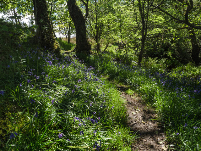
Image: © David Baird Taken: 21 May 2014
The long distance path from Portpatrick to Cockburnspath crosses the bridge at Holm then follows the east bank of the Minnoch as it heads northwards towards Glentrool. This stretch is near Holm.
Images are licensed for reuse under creativecommons.org/licenses/by-sa/2.0
Image Location


Leaflet Map data © OpenStreetMap
Latitude
55.063133
Longitude
-4.546839