Turton Bottoms
Introduction
The photograph on this page of Turton Bottoms by liz dawson as part of the Geograph project.
The Geograph project started in 2005 with the aim of publishing, organising and preserving representative images for every square kilometre of Great Britain, Ireland and the Isle of Man.

There are currently over 7.5m images from over 14,400 individuals and you can help contribute to the project by visiting https://www.geograph.org.uk
Turton Bottoms
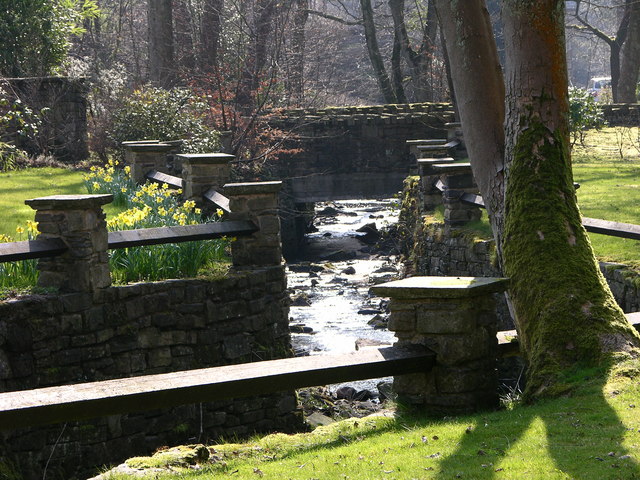
Image: © liz dawson Taken: 25 Mar 2007
Water from Wayoh to Jumbles travels along here The reservoir was built as a compensation reservoir in 1876 to ensure a continuous flow of water into Bradshaw Brook - so essential to feed the several bleach works down stream at that time. It is now used for domestic supply and another compensation reservoir has been built down stream in the Jumbles. http://www.lancashire.gov.uk/environment/countryside/walking/edgworth.asp
Images are licensed for reuse under creativecommons.org/licenses/by-sa/2.0
Image Location
Latitude
53.636536
Longitude
-2.394995