Arable land north of Berryhill
Introduction
The photograph on this page of Arable land north of Berryhill by Stanley Howe as part of the Geograph project.
The Geograph project started in 2005 with the aim of publishing, organising and preserving representative images for every square kilometre of Great Britain, Ireland and the Isle of Man.

There are currently over 7.5m images from over 14,400 individuals and you can help contribute to the project by visiting https://www.geograph.org.uk
Arable land north of Berryhill
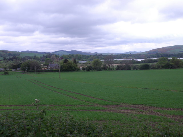
Image: © Stanley Howe Taken: 17 May 2014
In a view towards Lindores Loch from the minor road to Grange of Lindores. Behind the house (left of picture) lie the ruins of old Abdie Church.
Images are licensed for reuse under creativecommons.org/licenses/by-sa/2.0
Image Location


Leaflet Map data © OpenStreetMap
Latitude
56.332276
Longitude
-3.198553