Winding hole between bridges 28 and 29
Introduction
The photograph on this page of Winding hole between bridges 28 and 29 by Christine Johnstone as part of the Geograph project.
The Geograph project started in 2005 with the aim of publishing, organising and preserving representative images for every square kilometre of Great Britain, Ireland and the Isle of Man.

There are currently over 7.5m images from over 14,400 individuals and you can help contribute to the project by visiting https://www.geograph.org.uk
Winding hole between bridges 28 and 29
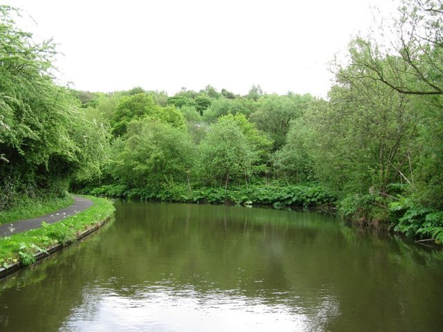
Image: © Christine Johnstone Taken: 10 May 2014
Where full-length narrowboats can turn round. 'Wind' as in breeze, not clock.
Images are licensed for reuse under creativecommons.org/licenses/by-sa/2.0
Image Location
Latitude
53.358908
Longitude
-2.003567