Mentmore - northern end of The Green
Introduction
The photograph on this page of Mentmore - northern end of The Green by Rob Farrow as part of the Geograph project.
The Geograph project started in 2005 with the aim of publishing, organising and preserving representative images for every square kilometre of Great Britain, Ireland and the Isle of Man.

There are currently over 7.5m images from over 14,400 individuals and you can help contribute to the project by visiting https://www.geograph.org.uk
Mentmore - northern end of The Green
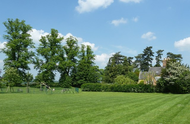
Image: © Rob Farrow Taken: 17 May 2014
Mentmore is a charming village which owes much of its existence to the neighbouring Mentmore Towers (see Image]) as many of the houses were built for estate workers. In the centre of the village is The Green, which is fringed by some mighty trees on its border with the lane to Ledburn (see Image]) four of which can be seen on the left in this image. This is a view of the northern part of The Green. The photo was taken from the village street which runs along The Green's southeastern side, and is also called The Green.
Images are licensed for reuse under creativecommons.org/licenses/by-sa/2.0
Image Location
Latitude
51.869589
Longitude
-0.683767