40 to 50 north of Stroud
Introduction
The photograph on this page of 40 to 50 north of Stroud by Jaggery as part of the Geograph project.
The Geograph project started in 2005 with the aim of publishing, organising and preserving representative images for every square kilometre of Great Britain, Ireland and the Isle of Man.

There are currently over 7.5m images from over 14,400 individuals and you can help contribute to the project by visiting https://www.geograph.org.uk
40 to 50 north of Stroud
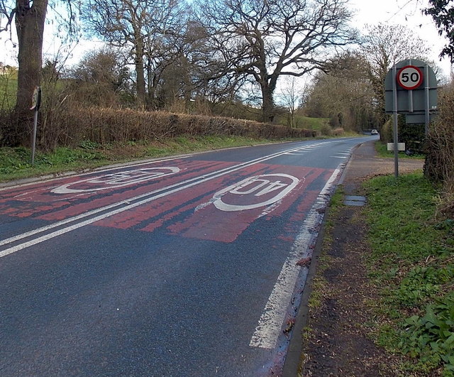
Image: © Jaggery Taken: 23 Mar 2014
The speed limit along the A46 Painswick Road increases from 40mph to 50mph. The circular 50 sign on the right is on the back of a Welcome to Stroud sign. http://www.geograph.org.uk/photo/3986802
Images are licensed for reuse under creativecommons.org/licenses/by-sa/2.0
Image Location
Latitude
51.758323
Longitude
-2.223651