House, brook and road in the Angiddy Valley near Tintern
Introduction
The photograph on this page of House, brook and road in the Angiddy Valley near Tintern by Jaggery as part of the Geograph project.
The Geograph project started in 2005 with the aim of publishing, organising and preserving representative images for every square kilometre of Great Britain, Ireland and the Isle of Man.

There are currently over 7.5m images from over 14,400 individuals and you can help contribute to the project by visiting https://www.geograph.org.uk
House, brook and road in the Angiddy Valley near Tintern
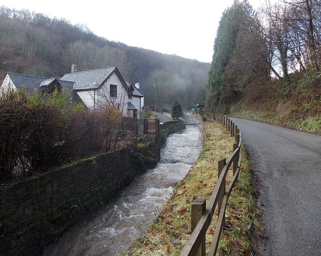
Image: © Jaggery Taken: 19 Jan 2014
The Angiddy flows vigorously in mid-January 2014 in what was to be the wettest winter on record in many parts of the UK.
Images are licensed for reuse under creativecommons.org/licenses/by-sa/2.0
Image Location
Latitude
51.699119
Longitude
-2.694482