Crofthead Farm & Railway Bridge
Introduction
The photograph on this page of Crofthead Farm & Railway Bridge by Raymond Okonski as part of the Geograph project.
The Geograph project started in 2005 with the aim of publishing, organising and preserving representative images for every square kilometre of Great Britain, Ireland and the Isle of Man.

There are currently over 7.5m images from over 14,400 individuals and you can help contribute to the project by visiting https://www.geograph.org.uk
Crofthead Farm & Railway Bridge
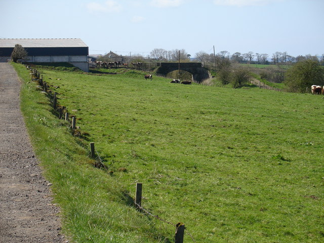
Image: © Raymond Okonski Taken: 12 Apr 2007
This view of the (disused) railway line shows how the coal from the nearby opencast workings were transported to consumers. The line here continued westwards to the main Ayr to Girvan line at Holehouse junction.
Images are licensed for reuse under creativecommons.org/licenses/by-sa/2.0
Image Location
Latitude
55.4405
Longitude
-4.362554