Main Road, Curbridge, meets the A4095
Introduction
The photograph on this page of Main Road, Curbridge, meets the A4095 by Robin Webster as part of the Geograph project.
The Geograph project started in 2005 with the aim of publishing, organising and preserving representative images for every square kilometre of Great Britain, Ireland and the Isle of Man.

There are currently over 7.5m images from over 14,400 individuals and you can help contribute to the project by visiting https://www.geograph.org.uk
Main Road, Curbridge, meets the A4095
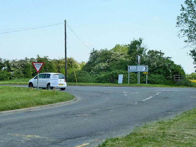
Image: © Robin Webster Taken: 18 May 2014
The near white sign advertises Old Berks Countryside Day at Faringdon, on 18th May 2014, the day of the photograph. The far white sign advertises a plant sale in Curbridge on 26th May 2014.
Images are licensed for reuse under creativecommons.org/licenses/by-sa/2.0
Image Location
Latitude
51.774537
Longitude
-1.516597