Bluebells and Buttercups, Aberbargoed Grasslands
Introduction
The photograph on this page of Bluebells and Buttercups, Aberbargoed Grasslands by Robin Drayton as part of the Geograph project.
The Geograph project started in 2005 with the aim of publishing, organising and preserving representative images for every square kilometre of Great Britain, Ireland and the Isle of Man.

There are currently over 7.5m images from over 14,400 individuals and you can help contribute to the project by visiting https://www.geograph.org.uk
Bluebells and Buttercups, Aberbargoed Grasslands
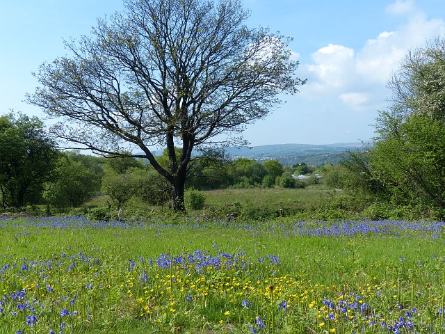
Image: © Robin Drayton Taken: 16 May 2014
Declared a National Nature Reserve in June 2012. This reserve is on a southwest-facing slope above the Rhymney Valley and is an area of semi-natural lowland grasslands of various types. The reserve hosts an population of the rare Marsh Fritillary butterfly.
Images are licensed for reuse under creativecommons.org/licenses/by-sa/2.0
Image Location
Latitude
51.685924
Longitude
-3.212292