Remains of benchmark on wall of recreation ground
Introduction
The photograph on this page of Remains of benchmark on wall of recreation ground by John Yeadon as part of the Geograph project.
The Geograph project started in 2005 with the aim of publishing, organising and preserving representative images for every square kilometre of Great Britain, Ireland and the Isle of Man.

There are currently over 7.5m images from over 14,400 individuals and you can help contribute to the project by visiting https://www.geograph.org.uk
Remains of benchmark on wall of recreation ground
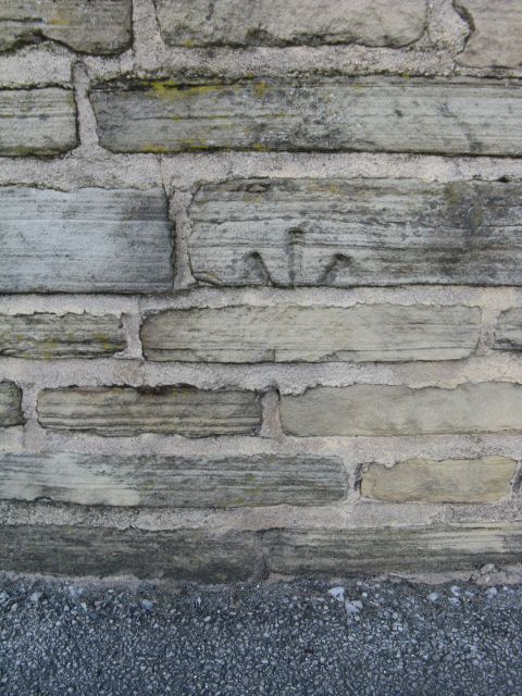
Image: © John Yeadon Taken: 12 May 2014
The roadside wall around the recreation ground at the junction of Lumb Lane and Westgate, Bradford had a bench mark on Westgate at the end of the curved part of the wall. It seems the wall has been demolished and rebuilt from the original bricks with the original bench mark displaced from its original position around the corner onto Lumb Lane and the arrow head set up-side-down.
Images are licensed for reuse under creativecommons.org/licenses/by-sa/2.0
Image Location
Latitude
53.797569
Longitude
-1.761459