Site of Wernbwll Colliery
Introduction
The photograph on this page of Site of Wernbwll Colliery by Philip Halling as part of the Geograph project.
The Geograph project started in 2005 with the aim of publishing, organising and preserving representative images for every square kilometre of Great Britain, Ireland and the Isle of Man.

There are currently over 7.5m images from over 14,400 individuals and you can help contribute to the project by visiting https://www.geograph.org.uk
Site of Wernbwll Colliery
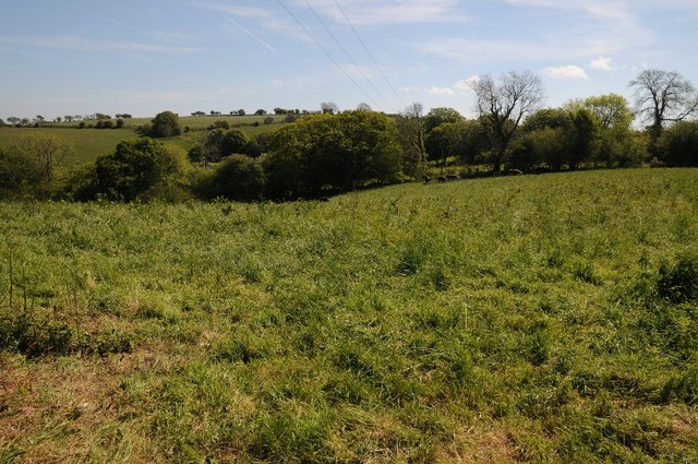
Image: © Philip Halling Taken: 17 May 2014
Site of Wernbwll Colliery where is November 1929 a mine explosion killed seven men. The colliery closed in 1937.
Images are licensed for reuse under creativecommons.org/licenses/by-sa/2.0
Image Location
Latitude
51.633026
Longitude
-4.089998