South of Wilford Lane
Introduction
The photograph on this page of South of Wilford Lane by Alan Murray-Rust as part of the Geograph project.
The Geograph project started in 2005 with the aim of publishing, organising and preserving representative images for every square kilometre of Great Britain, Ireland and the Isle of Man.

There are currently over 7.5m images from over 14,400 individuals and you can help contribute to the project by visiting https://www.geograph.org.uk
South of Wilford Lane
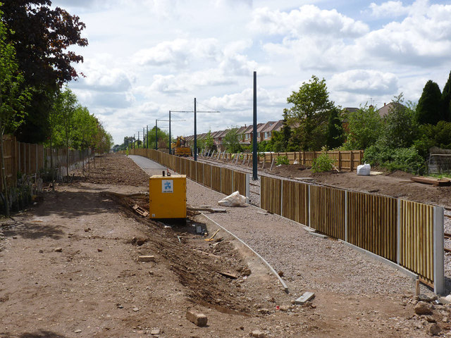
Image: © Alan Murray-Rust Taken: 14 May 2014
Work on erecting the overhead wires continues. The fencing is designed to provide sound absorption to minimise the effect on the residential properties on both sides of the line.
Images are licensed for reuse under creativecommons.org/licenses/by-sa/2.0
Image Location
Latitude
52.924985
Longitude
-1.156411