New development, London Road, Albourne
Introduction
The photograph on this page of New development, London Road, Albourne by Simon Carey as part of the Geograph project.
The Geograph project started in 2005 with the aim of publishing, organising and preserving representative images for every square kilometre of Great Britain, Ireland and the Isle of Man.

There are currently over 7.5m images from over 14,400 individuals and you can help contribute to the project by visiting https://www.geograph.org.uk
New development, London Road, Albourne
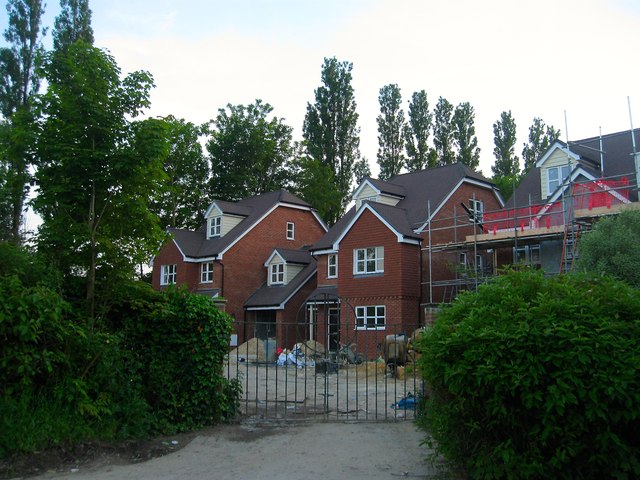
Image: © Simon Carey Taken: 16 May 2014
An infill development being built on the old car park for the former Kings Head Inn which is now Image The car park itself was once a small field called Home Close according to Albourne's 1839 tithe map.
Images are licensed for reuse under creativecommons.org/licenses/by-sa/2.0
Image Location
Latitude
50.935143
Longitude
-0.199817