Ash Cottage/Hackhurst, Henfield Road, Albourne
Introduction
The photograph on this page of Ash Cottage/Hackhurst, Henfield Road, Albourne by Simon Carey as part of the Geograph project.
The Geograph project started in 2005 with the aim of publishing, organising and preserving representative images for every square kilometre of Great Britain, Ireland and the Isle of Man.

There are currently over 7.5m images from over 14,400 individuals and you can help contribute to the project by visiting https://www.geograph.org.uk
Ash Cottage/Hackhurst, Henfield Road, Albourne
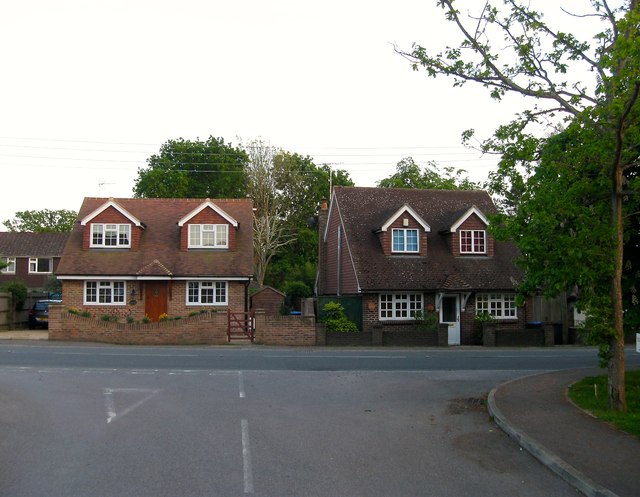
Image: © Simon Carey Taken: 16 May 2014
Viewed from the entrance to Image Ash Cottage is on the left whilst that on the right is Hackhurst. To the immediate east of the latter is Image
Images are licensed for reuse under creativecommons.org/licenses/by-sa/2.0
Image Location
Latitude
50.937168
Longitude
-0.20287