The lane to Demelza
Introduction
The photograph on this page of The lane to Demelza by David Gearing as part of the Geograph project.
The Geograph project started in 2005 with the aim of publishing, organising and preserving representative images for every square kilometre of Great Britain, Ireland and the Isle of Man.

There are currently over 7.5m images from over 14,400 individuals and you can help contribute to the project by visiting https://www.geograph.org.uk
The lane to Demelza
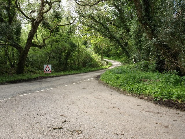
Image: © David Gearing Taken: 13 May 2014
This junction is at the bottom of a dense, damp strip of woodland, the air in which was full of small flies when this picture was taken.
Images are licensed for reuse under creativecommons.org/licenses/by-sa/2.0
Image Location
Latitude
50.436783
Longitude
-4.849314