Path in Noak Bridge Nature Reserve
Introduction
The photograph on this page of Path in Noak Bridge Nature Reserve by Roger Jones as part of the Geograph project.
The Geograph project started in 2005 with the aim of publishing, organising and preserving representative images for every square kilometre of Great Britain, Ireland and the Isle of Man.

There are currently over 7.5m images from over 14,400 individuals and you can help contribute to the project by visiting https://www.geograph.org.uk
Path in Noak Bridge Nature Reserve
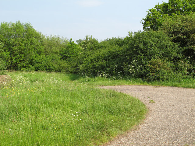
Image: © Roger Jones Taken: 17 May 2014
Noak Bridge Nature Reserve consists of 20 acres of mixed grassland, scrub, developing woodland and small ponds stretching along the northern side of the Southend Road. http://www.nbnrs.org.uk/
Images are licensed for reuse under creativecommons.org/licenses/by-sa/2.0
Image Location
Latitude
51.587518
Longitude
0.453087