Lock mooring, Rochdale Canal, Castleton
Introduction
The photograph on this page of Lock mooring, Rochdale Canal, Castleton by Christine Johnstone as part of the Geograph project.
The Geograph project started in 2005 with the aim of publishing, organising and preserving representative images for every square kilometre of Great Britain, Ireland and the Isle of Man.

There are currently over 7.5m images from over 14,400 individuals and you can help contribute to the project by visiting https://www.geograph.org.uk
Lock mooring, Rochdale Canal, Castleton
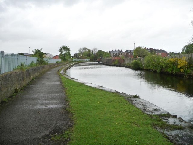
Image: © Christine Johnstone Taken: 7 May 2014
Above [north of] Blue Pits Middle Lock [No 52].
Images are licensed for reuse under creativecommons.org/licenses/by-sa/2.0
Image Location
Latitude
53.589508
Longitude
-2.178375