Dappled Road
Introduction
The photograph on this page of Dappled Road by John Webb as part of the Geograph project.
The Geograph project started in 2005 with the aim of publishing, organising and preserving representative images for every square kilometre of Great Britain, Ireland and the Isle of Man.

There are currently over 7.5m images from over 14,400 individuals and you can help contribute to the project by visiting https://www.geograph.org.uk
Dappled Road
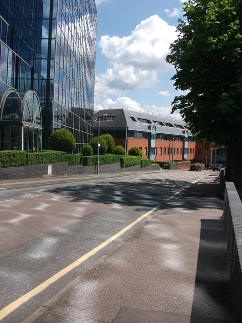
Image: © John Webb Taken: 14 May 2014
Sunlight reflecting off the individual panes of the 'Ziggurat' building (see Image) make an interesting pattern on the surface of Grovesner Road.
Images are licensed for reuse under creativecommons.org/licenses/by-sa/2.0
Image Location
Latitude
51.746559
Longitude
-0.328103