Hamiltons/Choppers, Church Lane, Albourne
Introduction
The photograph on this page of Hamiltons/Choppers, Church Lane, Albourne by Simon Carey as part of the Geograph project.
The Geograph project started in 2005 with the aim of publishing, organising and preserving representative images for every square kilometre of Great Britain, Ireland and the Isle of Man.

There are currently over 7.5m images from over 14,400 individuals and you can help contribute to the project by visiting https://www.geograph.org.uk
Hamiltons/Choppers, Church Lane, Albourne
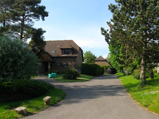
Image: © Simon Carey Taken: 16 May 2014
A fairly recent infill development off Church Lane. Judging by OS maps of 1956 through to 1977, a building called Choppers was located here within a small 'L' shaped plot of land. However, the layout nor position of the original Choppers matches the current one which is viewed side on down the drive, and thus looks likely to be a recent development. Hamiltons is the house on the left whilst another, not in shot, called Pinewoods, completes the trio.
Images are licensed for reuse under creativecommons.org/licenses/by-sa/2.0
Image Location
Latitude
50.933641
Longitude
-0.201583