As blue turns to black over Severn at Uleybury - Uley, Gloucestershire
Introduction
The photograph on this page of As blue turns to black over Severn at Uleybury - Uley, Gloucestershire by Martin Richard Phelan as part of the Geograph project.
The Geograph project started in 2005 with the aim of publishing, organising and preserving representative images for every square kilometre of Great Britain, Ireland and the Isle of Man.

There are currently over 7.5m images from over 14,400 individuals and you can help contribute to the project by visiting https://www.geograph.org.uk
As blue turns to black over Severn at Uleybury - Uley, Gloucestershire
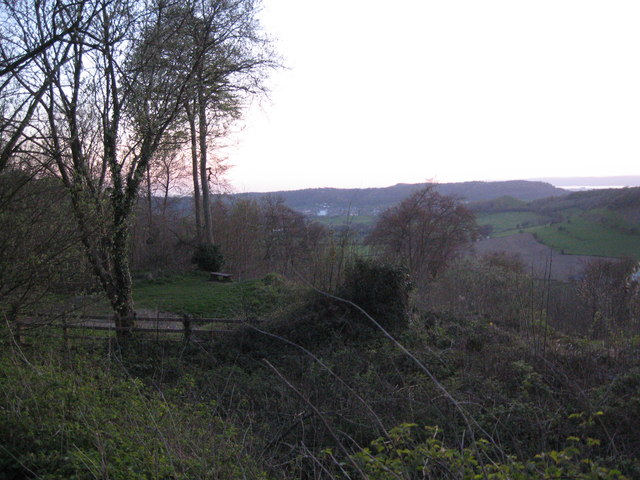
Image: © Martin Richard Phelan Taken: 15 Apr 2014
At the close of the day, after a circuit of Uleybury, a quiet few minutes before our return to Stroud and my friends home with comforts that might have been eye-opening for our long vanished ancestors. Another view from the layby parking for Uleybury. Time photo taken 8.01 pm BST (British Summer Time).
Images are licensed for reuse under creativecommons.org/licenses/by-sa/2.0
Image Location


Leaflet Map data © OpenStreetMap
Latitude
51.69186
Longitude
-2.310848