Honeyfield Road houses, Rassau
Introduction
The photograph on this page of Honeyfield Road houses, Rassau by Jaggery as part of the Geograph project.
The Geograph project started in 2005 with the aim of publishing, organising and preserving representative images for every square kilometre of Great Britain, Ireland and the Isle of Man.

There are currently over 7.5m images from over 14,400 individuals and you can help contribute to the project by visiting https://www.geograph.org.uk
Honeyfield Road houses, Rassau
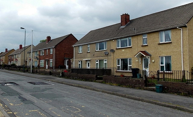
Image: © Jaggery Taken: 16 May 2014
The black speed bumps are intended to slow down vehicles near a school entrance. http://www.geograph.org.uk/photo/3979591
Images are licensed for reuse under creativecommons.org/licenses/by-sa/2.0
Image Location
Latitude
51.800097
Longitude
-3.222894