Chalk Lane on the approach to Epsom
Introduction
The photograph on this page of Chalk Lane on the approach to Epsom by Marathon as part of the Geograph project.
The Geograph project started in 2005 with the aim of publishing, organising and preserving representative images for every square kilometre of Great Britain, Ireland and the Isle of Man.

There are currently over 7.5m images from over 14,400 individuals and you can help contribute to the project by visiting https://www.geograph.org.uk
Chalk Lane on the approach to Epsom
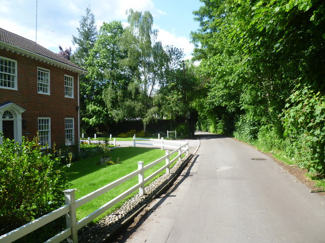
Image: © Marathon Taken: 14 May 2014
Chalk Lane is an old route leading from the centre of Epsom up to Epsom Downs. It is used by both cars and pedestrians but fortunately is not too busy. Here it has just passed Durdans and its associated buildings on the way into Epsom.
Images are licensed for reuse under creativecommons.org/licenses/by-sa/2.0
Image Location
Latitude
51.323304
Longitude
-0.267042