Burns Lane, Warsop
Introduction
The photograph on this page of Burns Lane, Warsop by Andrew Hill as part of the Geograph project.
The Geograph project started in 2005 with the aim of publishing, organising and preserving representative images for every square kilometre of Great Britain, Ireland and the Isle of Man.

There are currently over 7.5m images from over 14,400 individuals and you can help contribute to the project by visiting https://www.geograph.org.uk
Burns Lane, Warsop
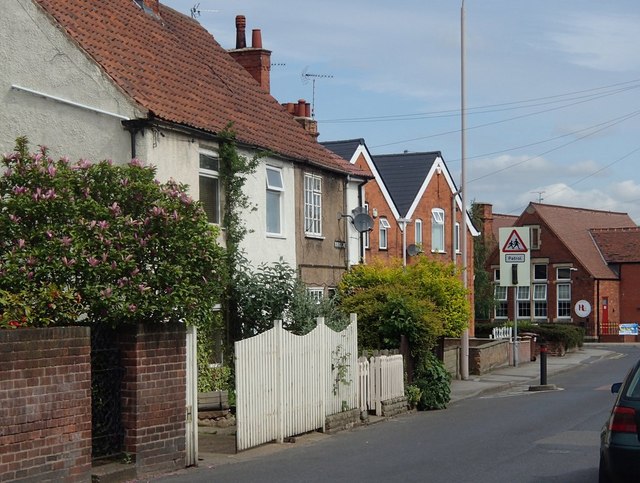
Image: © Andrew Hill Taken: 15 May 2014
Houses on a residential street, with the corner of the primary school in the background.
Images are licensed for reuse under creativecommons.org/licenses/by-sa/2.0
Image Location
Latitude
53.207209
Longitude
-1.15058